Thursday, August 16, 2007
Cape Flattery or Bust
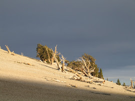
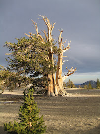
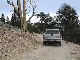
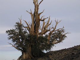
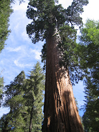
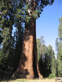
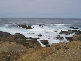
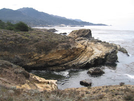
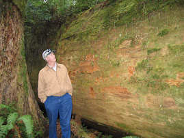
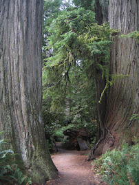
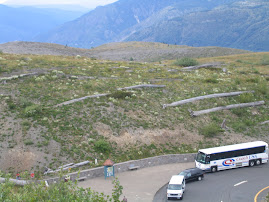
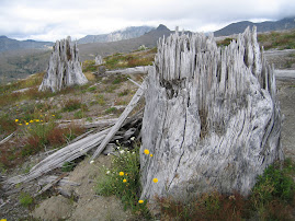
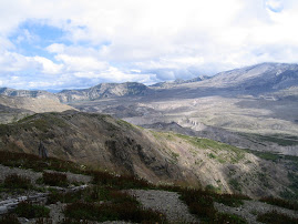
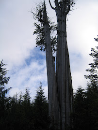
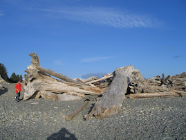
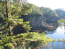
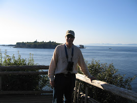
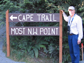
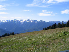
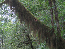
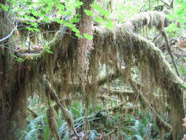
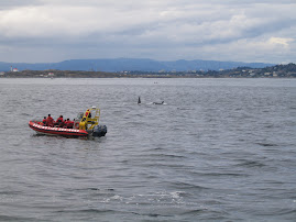
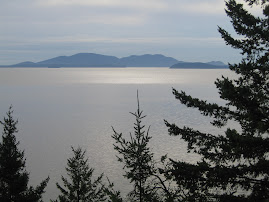
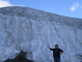
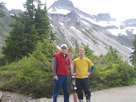
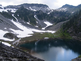
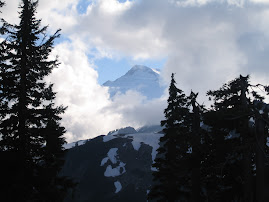
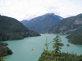
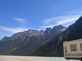
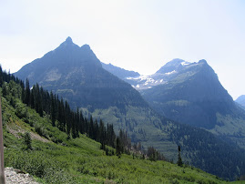
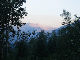
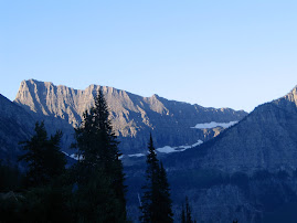
Exploration of the Olympic Pennisula was started full scale. We drove out to Hurricane Ridge, a ridgeline of Olympic Mountain peaks ranging from 5800' to 6700 ' many snow capped. Some areas on the pennisula receive massive amounts of precipitation. The wind packed snow builds up and feeds many glaciers. One of the info boards said that the packed and heavy ice and snow goes through a structural change into glacier ice which can then move. We also made a stop at Dungeness National Wildlife Refuge, a bay formed by a spit of sand five miles long. We pushed on following Rt. 112 all the way out to Cape Flattery, the most NW point in the country. Some folks try to get to all four points, with Key West, a place near San Diego and a spot in Maine being the other three. The path and board walk out to the viewing site were gorgeous, cutting through a forest of Doug Firs, Red Cedars , Hemlock etc. The ferns grow three or four feet high and are thick, as is the forest itself. Foliage looks so dense as to be impenitrable Saw a large herd of elk on the way back. It was a long, long ride and we didn't get home until 11:00 PM. The area is so large we may have to consider staying a night out on the far side of the park to avoid the three hour ride back and forth.
Subscribe to:
Post Comments (Atom)


No comments:
Post a Comment